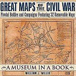
 Great Maps of the Civil War: Pivotal Battles and Campaigns Featuring 32 Removable Maps Fifteen chapters in Great Maps of the Civil War each contain two or three maps that can be pulled out of a pocket. Ten of the maps are 18" x 24"; others are smaller. In addition to a discussion of the battles and the roles of the maps, the book tells about Civil War mapmakers and the methods they used. |
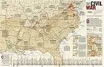
American Civil War Maps
|
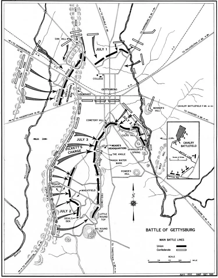
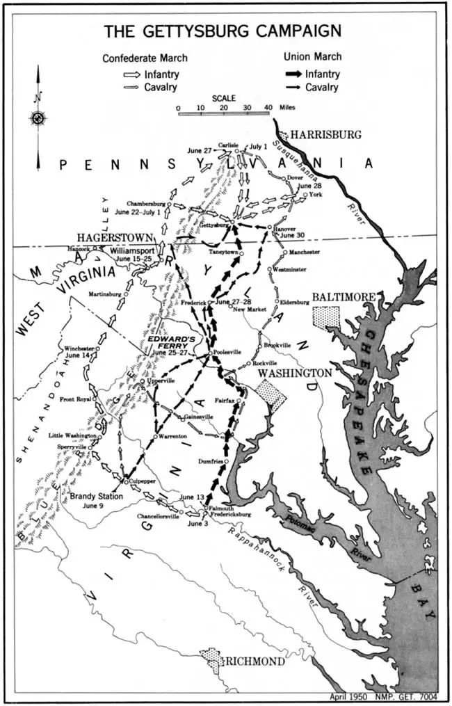
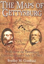 The Maps of Gettysburg: The Gettysburg Campaign, June 3 - July 13, 1863 The Maps of Gettysburg plows new ground in the study of the campaign by breaking down the entire campaign in 140 detailed original maps. These cartographic originals bore down to the regimental leve |
| American Civil War Exhibits Civil War Timeline Women in the War State Battle Maps Kids Zone Underground Railroad Ships and Naval Battles Civil War Submarines Kids Zone Battle of Gettysburg Civil War Picture Album Civil War Store Confederate Store |
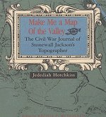 Make Me a Map of the Valley: The Civil War Journal of Stonewall Jackson's Topographer In this book you can definitely tell that the writer thought Early was beyond his depth, that Ewell was lazy and that Jackson was hopeless without accurate maps. His comments on price inflation, desertions and politics are interesting 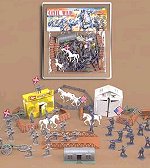 72 Piece Civil War Army Men |
Kindle Available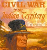 Civil War in the Indian Territory When the war broke out, both sides wanted the Five Civilized Tribes, led by the Cherokees, and each got around half. The Confederacy sent Brigadier General Albert Pike to recruit them, and he did a pretty good job. A strange, brilliant, man, Pike's career as a General is a minor footnote in his long life |
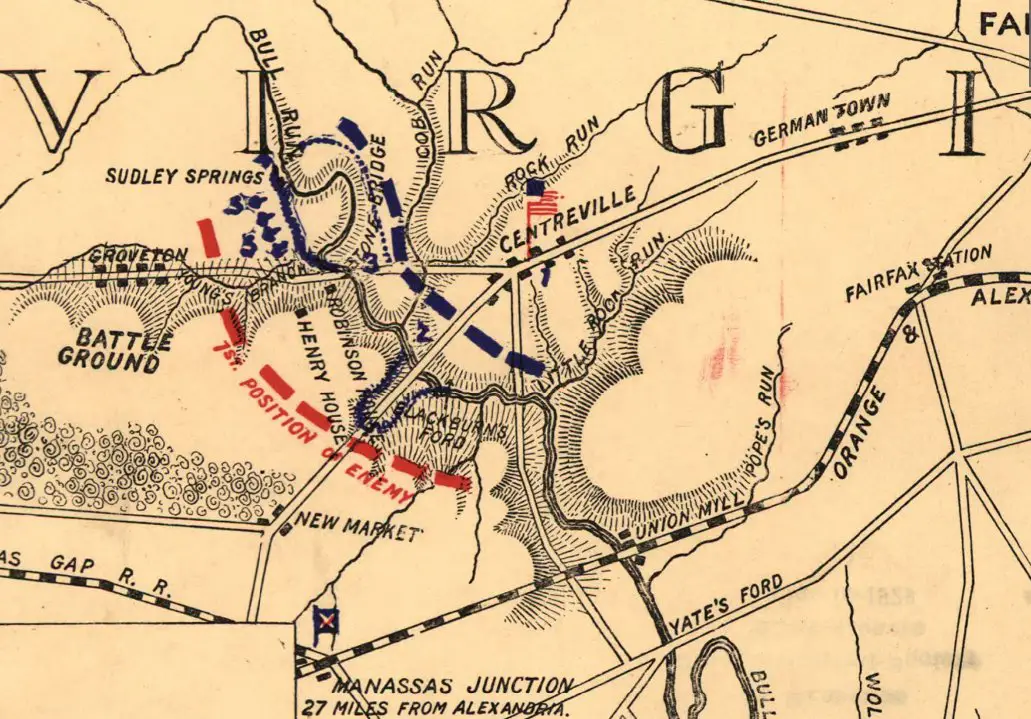
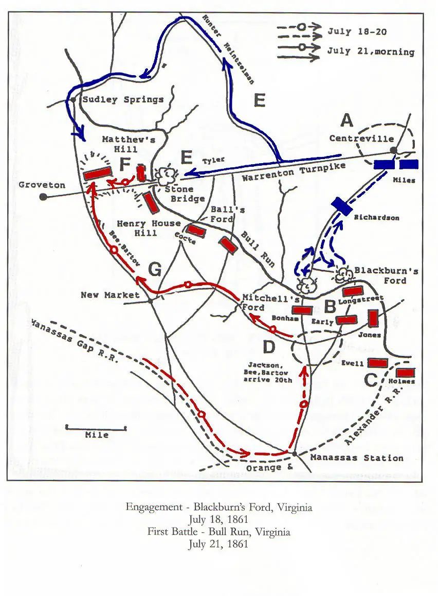
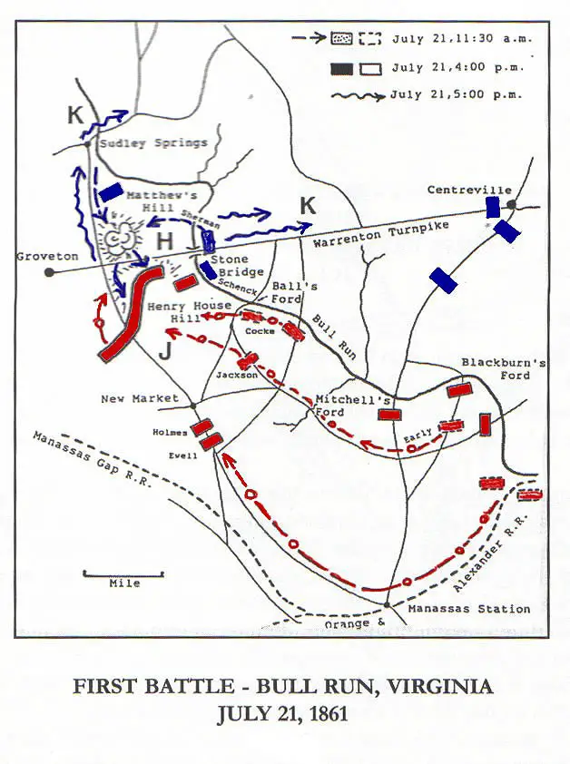
Kindle Available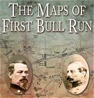 The Maps of First Bull Run: An Atlas of the First Bull Run (Manassas) Campaign, including the Battle of Ball's Bluff, June-October 1861 The Maps of First Bull Run breaks down the entire operation (and related actions) into numerous map sets or "action-sections" enriched with more than fifty full-color original full-page maps. These cartographic originals bore down to the regimental and battery level and include the march to and from the battlefield and virtually every significant event in between. |
Kindle Available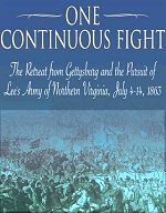 One Continuous Fight: The Retreat from Gettysburg and the Pursuit of Lee's Army of Northern Virginia The first detailed military history of Lee's retreat and the Union effort to catch and destroy the wounded Army of Northern Virginia Complimented with 18 original maps, dozens of photos, and a complete driving tour with GPS coordinates of the entire retreat |
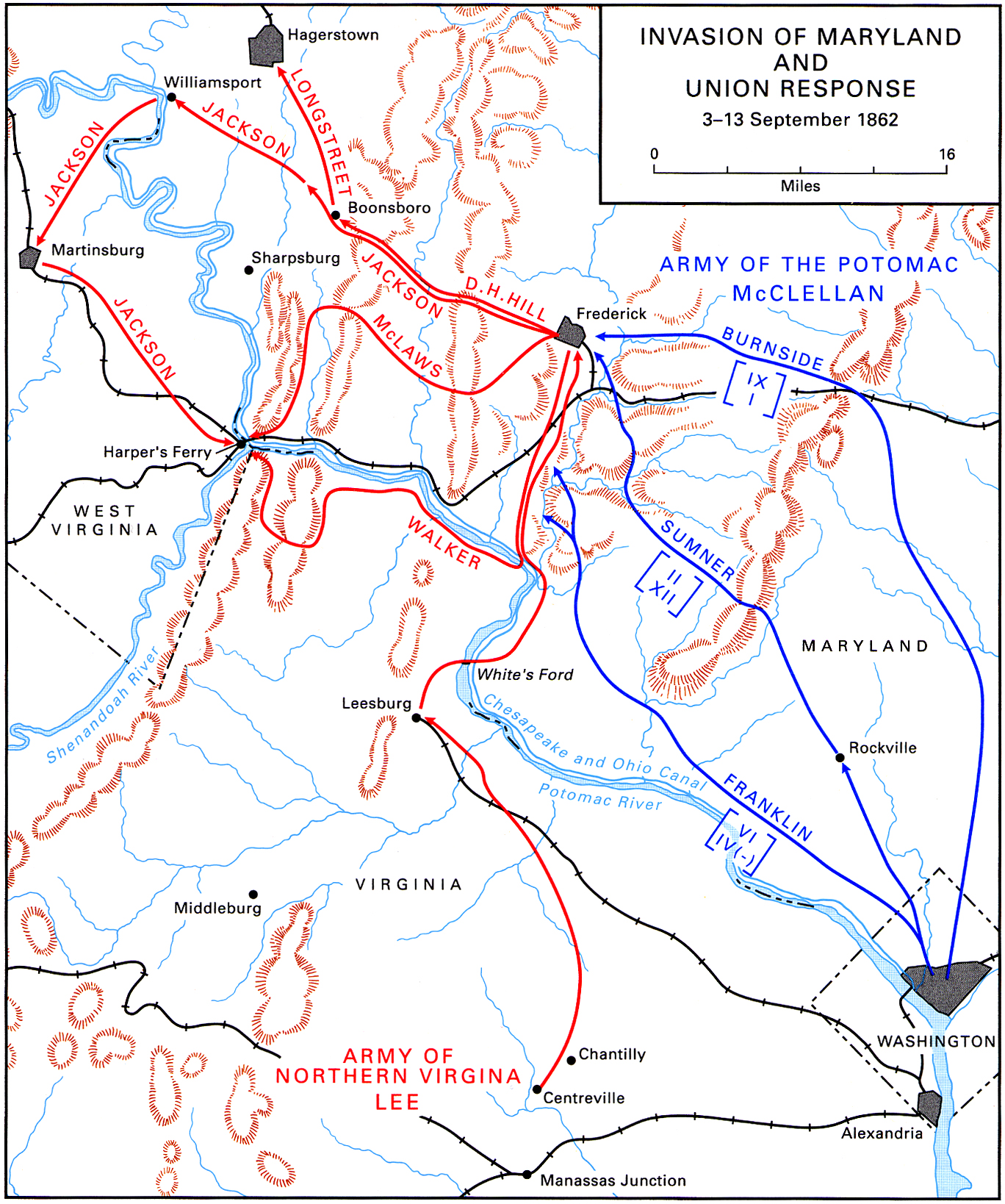
Kindle Available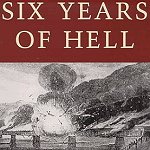 Six Years of Hell Harpers Ferry During the Civil War While Harpers Ferry was an important location during the Civil War, in most Civil War books it's a sideshow of something larger. John Brown's raid, Lee's invasions of 1862 & 1863 as well as Early's 1864 raid are all covered in depth |
Kindle Available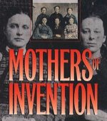 Mothers of Invention: Women of the Slaveholding South in the American Civil War When Confederate men marched off to battle, southern women struggled with the new responsibilities of directing farms and plantations, providing for families, and supervising increasingly restive slaves |
Kindle Available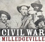 Civil War Milledgeville: Tales from the Confederate Capital of Georgia In the town of Milledgeville, Georgia--the state capital during the Civil War the actions of local soldiers and citizens alike tell a story that is unique to that locale. The division between combatant and civilian at the local level is not always clear. The often forgotten events and people that have shaped our larger understanding of the Civil War, from a womens riot to a confederate cavalry rescue. |
Kindle Available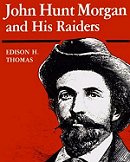 John Hunt Morgan and His Raiders The "Thunderbolt of the Confederacy" John Hunt Morgan from Tompkinsville, Kentucky to Greeneville, Tennessee. |
Kindle Available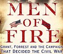 Men of Fire: Grant, Forrest, and the Campaign That Decided the Civil War In the winter of 1862, on the border between Kentucky and Tennessee, two extraordinary military leaders faced each other in an epic clash that would transform them both and change the course of American history forever |
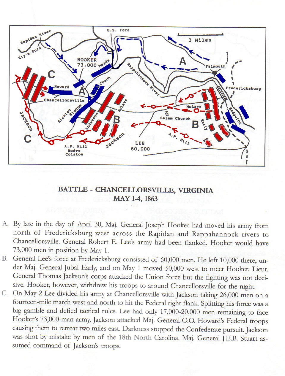
Kindle Available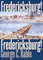 Fredericksburg! Fredericksburg! A stunning defeat for the Union. Confederate Robert E. Lee suffered roughly 5,000 casualties but inflicted nearly 13,000--on his opponent, General Ambrose Burnside. |
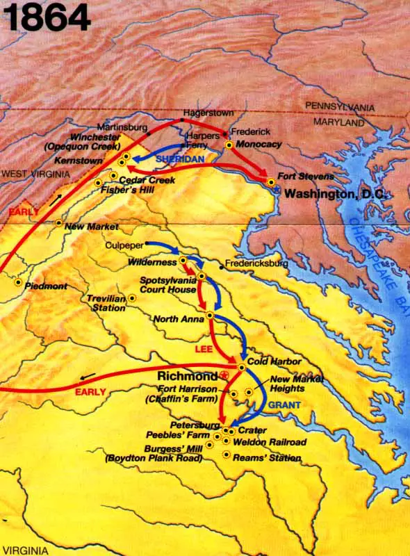
Kindle Available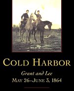 Cold Harbor Grant and Lee May 26-June 3, 1864 The spring 1864 campaignwhich pitted Ulysses S. Grant against Robert E. Lee for the first time in the Civil War |
Kindle Available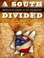 A South Divided: Portraits of Dissent in the Confederacy An account of Southern dissidents in the Civil War, at times labeled as traitors, Tories, deserters, or mossbacks during the war and loyalists, Lincoln loyalists, and Unionists by historians of the war |
Kindle Available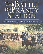 The Battle of Brandy Station North America's Largest Cavalry Battle Just before dawn on June 9, 1863, Union soldiers materialized from a thick fog near the banks of Virginia's Rappahannock River to ambush sleeping Confederates. The ensuing struggle, which lasted throughout the day, was to be known as the Battle of Brandy Station the largest cavalry battle ever fought on North American soil. |
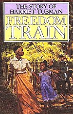 Freedom Train: The Story of Harriet Tubman Harriet escaped North, by the secret route called the Underground Railroad. Harriet didn't forget her people. Again and again she risked her life to lead them on the same secret, dangerous journey. |
Kindle Available The Glory Cloak: A Novel of Louisa May Alcott and Clara Barton From childhood, Susan Gray and her cousin Louisa May Alcott have shared a safe, insular world of outdoor adventures and grand amateur theater -- a world that begins to evaporate with the outbreak of the Civil War. Frustrated with sewing uniforms and wrapping bandages, the two women journey to Washington, D.C.'s Union Hospital to volunteer as nurses. |
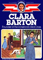 Clara Barton Founder of the American Red Cross Young Clara Barton is shy and lonely in her early days at boarding school. She is snubbed by the other girls because she doesn't know how to talk to them. But when she gets an opportunity to assist the local doctor, her shyness disappears, and Clara begins to discover her true calling as a nurse. |
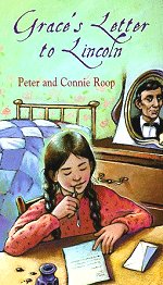 Grace's Letter to Lincoln Many important details of the time period help to make the reader understand what life was like then. It also includes photos of the actual letters written between Grace and Mr. Lincoln |
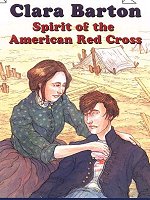 Clara Barton: Spirit of the American Red Cross Ready To Read - Level Three Clara Barton was very shy and sensitive, and not always sure of herself. But her fighting spirit and desire to help others drove her to become one of the world's most famous humanitarians. Learn all about the life of the woman who formed the American Red Cross. |
Kindle Available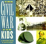 The Civil War for Kids History explodes in this activity guide spanning the turmoil preceding secession, the first shots fired at Fort Sumter, the fierce battles on land and sea, and finally the Confederate surrender at Appomattox. Making butternut dye for a Rebel uniform, learning drills and signals with flags, decoding wigwag, baking hardtack, reenacting battles, and making a medicine kit bring this pivotal period in our nation's history to life. |
Kindle Available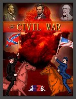 The Civil War Introduces young readers to the harrowing true story of the American Civil War and its immediate aftermath. A surprisingly detailed battle-by-battle account of America's deadliest conflict ensues, culminating in the restoration of the Union followed by the tragic assassination of President Lincoln |
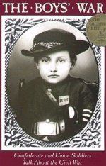 The Boys War With the many boys who fought in the civil war most of them lied about their age. A lot of them wrote letters or had a diary. Johnny Clem had run away from his home at 11. At age 12 he tried to enlist but they refused to let him join because he was clearly too young. The next day he came back to join as a drummer boy. |
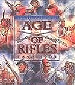 Wargame Construction Age of Rifles 1846 - 1905 Game lets you design and play turn-based strategic battles. You can create scenarios betwen years 1846 and 1905. You have complete control over all the units, and can customize their firepower, movement points, strength, aggressiveness, etc. Supports 1 or 2 players |
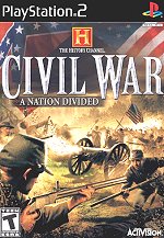 History Channel Civil War A Nation Divided Rally the troops and organize a counterattack -- Your strategic decision and talent as a commander will decide if the Union is preserved or if Dixie wins its independence |
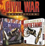 Sid Meier's Civil War Collection Take command of either Confederate or Union troops and command them to attack from the trees, rally around the general, or do any number of other realistic military actions. The AI reacts to your commands as if it was a real Civil War general, and offers infinite replayability. The random-scenario generator provides endless variations on the battles |
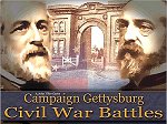 Campaign Gettysburg: Civil War Battles Campaign Gettysburg is simply the best of all the HPS Civil War games. While all of those are very good in their own right they simply do not compete with the level of detail presented here. Hundreds of scenarios and multiple OOBs are only the start, the best thing is the campaign game |
Sources:
Library of Congress
Federal Citizen
National Park Service
